Beyond the Forecast: The Latest on Hurricane Erin
Hurricane Erin Expands While Weakening Slightly
Hurricane Erin continues to dominate attention across the Atlantic, now holding steady as a Category 2 storm with winds near 105 mph. While the storm has lost some intensity due to wind shear and pockets of dry air, its wind field has expanded significantly, making it a wide-reaching threat along the U.S. East Coast.
Forecasters note that thunderstorm activity is concentrated on the eastern side of the storm. In contrast, the western side appears less organised. Despite the structural imbalance, Erin remains powerful and is expected to maintain its Category 2 status over the next 24–48 hours.
Track and Timing of Erin
The storm is moving north-northwest, with an expected turn due north by tomorrow morning and northeastward by tomorrow evening. Current forecasts show the system staying offshore but close enough to bring impacts to coastal areas.
- Outer Banks: Most exposed, with gusts of 40–50 mph and possible overwash in vulnerable spots.
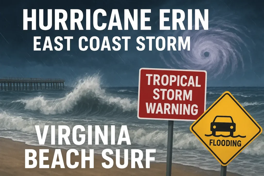
- Virginia Beach & Hampton Roads: Breezy conditions with gusts up to 35–40 mph, but less damaging wind inland.
- Eastern Shore: Some areas could see moderate to major tidal flooding, particularly during the Thursday evening high tide.
Coastal Concerns: Wind, Surf, and Flooding
Strong Surf and Dangerous Rip Currents
The swell from Erin is already reaching Virginia Beach and the Outer Banks, producing waves in the 6–10 foot range. Surf conditions will become even more hazardous as Erin’s large wind field pushes water toward the coast. Even outside the storm’s core, expect powerful rip currents and possible pier damage due to the relentless wave action.
Tidal Flooding Threat
Tidal flooding is a growing concern as Erin’s winds push water inland:
- Thursday evening high tide is expected to be the peak impact period.
- Moderate flooding is likely for areas such as Norfolk, Portsmouth, and Yorktown.
- Major flooding could occur around the Lynnhaven Inlet and parts of the Eastern Shore.
Residents in flood-prone zones should move vehicles to higher ground and prepare for saltwater intrusion that can damage property.
Impacts by Region
- Outer Banks (Hatteras, Buxton, Kill Devil Hills): Strong winds, coastal flooding, overwash on NC 12, and possible power outages.
- Hampton Roads Cities: Breezy with cloud cover, gusts up to 35 mph, and minimal flooding except in typical low-lying spots.
- Eastern Shore: Potential for significant tidal flooding Thursday evening.
- Inland Areas: Limited impacts with occasional gusts of 20–25 mph.
Looking Beyond Erin: What’s Next for the Tropics?
Hurricane Erin has been tracking across the Atlantic for more than a week, at one point reaching Category 5 strength. While it remains the primary focus, meteorologists are also monitoring:
- A disturbance near Puerto Rico: Current models show little development, but forecasters are watching for signs of organisation.
- A tropical wave following Erin’s path: Early projections suggest limited potential due to ocean disturbance left in Erin’s wake.
For now, Erin remains the dominant system, but the Atlantic hurricane season continues to show signs of activity.
Key Takeaways
- Erin remains a Category 2 hurricane with expanding winds, staying offshore but close enough to affect the East Coast.
- Outer Banks and Eastern Shore face the highest risk, with strong surf, gusty winds, and tidal flooding.
- Virginia Beach and inland areas will experience breezy conditions but limited damage.
- Coastal residents should prepare for flooding, rip currents, and hazardous surf through late Thursday into Friday.