
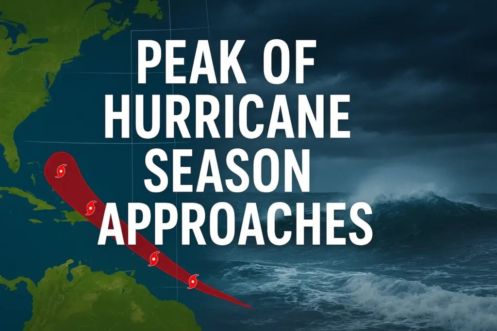
As the peak of the Atlantic hurricane season approaches, weather patterns are becoming increasingly active. From powerful offshore storms to developing tropical systems in the Caribbean, the coming weeks could be both eventful and unpredictable.
A massive and sprawling hurricane recently brushed past the U.S. East Coast, narrowly avoiding catastrophic landfall. The storm tracked between North Carolina and Bermuda, delivering only fringe effects to the mainland but leaving behind significant impacts:
While the hurricane weakened as it moved north, its influence lingered across the Atlantic, even reaching as far as Nantucket, Cape Cod, and Long Island.
The storm deposited tremendous amounts of energy into the western Atlantic, a factor that will take days to dissipate fully. This lingering energy has been responsible for:
Interestingly, the system is expected to continue its journey across the ocean, potentially looping near Europe in the coming week—though at a much weaker intensity.
Attention now shifts to the tropics, where two systems are under close watch:
At this stage, neither system appears to pose an immediate threat to the United States, though conditions will be monitored closely.
While the Atlantic basin is active now, long-range outlooks indicate a possible lull once these current systems track out. Still, meteorologists warn of seasonal cold fronts that could interact with warm waters in the Gulf of Mexico or western Atlantic, potentially sparking new storm development.
Key takeaways for coastal communities:
The Atlantic hurricane season is living up to its reputation, with powerful storms already leaving their mark and new systems emerging on the horizon. While the U.S. has been spared a direct strike so far, the ongoing activity reminds us of the importance of preparation and awareness during this critical time of year.