
Hurricane Erin may be heading out into the Atlantic, but its impact is still being felt along the East Coast. After days of fluctuating intensity, the storm is now weakening and racing northeastward. Despite this shift, Erin has left the ocean in turmoil, creating hazardous surf conditions and powerful rip currents that extend for hundreds of miles.
Although the storm never made a direct landfall on the U.S. mainland, its size and strength were enough to churn the waters. At its peak, Hurricane Erin generated tropical-storm-force winds stretching nearly 700 miles across—placing it among the larger storms on record in this region.
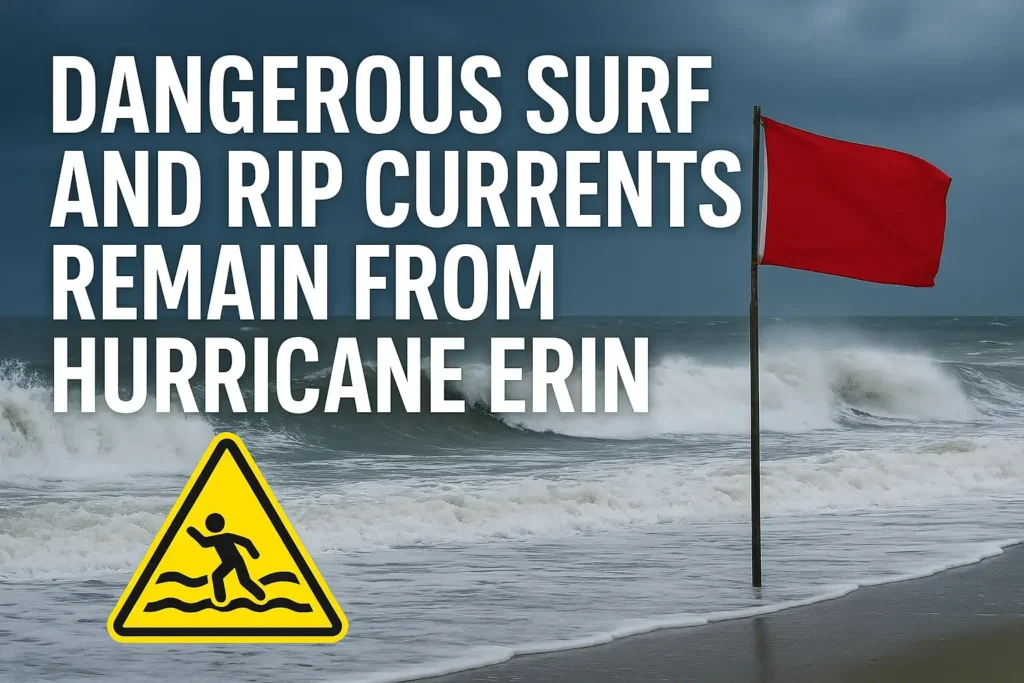
The storm’s unusual structure, larger on one side than the other, helped minimise land impacts. Still, the ocean remains unsettled. From the Delmarva Peninsula southward to the Tidewater region, and all the way north toward Canada, high surf advisories remain in effect.
Coastal areas experienced elevated water levels during Erin’s closest approach. Locations along the Chesapeake Bay and Outer Banks saw water rise several feet above normal high tide, pushing some sites into flood stage. While widespread destruction was avoided, localised flooding did occur in low-lying, flood-prone spots.
Thankfully, no significant damage has been reported along most of the coastline. For many communities, the storm served as a reminder of the power of storm surge and tidal flooding—even without a direct landfall.
As Hurricane Erin accelerates northeastward, it is beginning to lose its tropical characteristics. Cooler air is wrapping into the system, causing it to take on more of a winter-like storm structure. Forecast models suggest Erin will eventually cross the Atlantic and could reach Europe as a non-tropical storm within the next week.
While the winds and rain may have subsided, the surf remains extremely dangerous. Swimmers, surfers, and boaters are urged to use caution. Rip currents are especially strong during high tide cycles, which will continue to affect coastal communities today and into tomorrow.