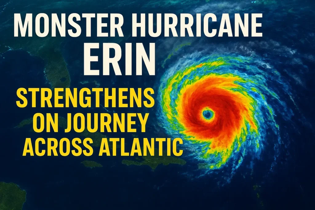
The 2025 Atlantic hurricane season has officially made its mark with Hurricane Erin. This massive and dangerous storm continues to intensify as it moves across the Atlantic Ocean. Currently classified as a Category 4 hurricane with sustained winds of 130 mph, Erin poses significant risks for parts of the Caribbean and the U.S. East Coast in the days ahead.
Current Status of Hurricane Erin
- Category: 4 (potential to peak near Category 5 strength)
- Maximum sustained winds: Around 130–145 mph
- Size: Wind field extending over 450 miles across
- Location: Affecting Turks and Caicos, Southeast Bahamas, and still trailing impacts over Puerto Rico
The storm has recently undergone an eyewall replacement cycle, strengthening its structure and increasing the potential for further intensification over warm ocean waters.
Immediate Impacts in the Caribbean
- Puerto Rico and the Dominican Republic: Heavy rain, strong winds, and flooding over the weekend, with lingering impacts still being felt.
- Turks and Caicos & Southeast Bahamas: Experiencing tropical storm conditions today despite the storm’s Category 4 strength.
As Erin grows in size, the outer rainbands are spreading farther, bringing widespread rainfall, strong winds, and dangerous surf to multiple regions.
Forecast Track and Cone of Uncertainty
The National Hurricane Centre projects Erin to track northward, then curve toward the northeast. While a direct U.S. landfall is not expected, coastal regions will not be spared from the storm’s indirect but dangerous impacts.
- Bermuda: Likely to experience tropical storm–force winds and rough seas by midweek.
- U.S. East Coast (Florida to New England): Increasingly rough surf, strong rip currents, and dangerous waves throughout the week.
U.S. East Coast Impacts
Even without landfall, Hurricane Erin is expected to generate significant coastal hazards:
- Dangerous Rip Currents: Life-threatening rip currents from Florida to Maine.
- Beach Erosion & Flooding: Especially at high tide along the Outer Banks and Northeast shoreline.
- Large Swells & Waves: Wave heights reaching 9–12 feet off the Jersey Shore, Delaware, and the Mid-Atlantic later this week.
- Tropical Storm Force Gusts: Winds up to 50 mph are possible in exposed coastal areas, especially Long Island and the Northeast.
Mandatory evacuations have already been issued for vulnerable barrier islands like parts of the Outer Banks, where infrastructure damage from sand and water washover is expected.
Timeline of Coastal Impacts
- Tuesday: The Southeast U.S. coast begins to feel stronger rip currents and building waves.
- Wednesday: Bermuda and the Outer Banks see tropical storm–force winds.
- Thursday–Friday: Mid-Atlantic and Northeast coasts face peak wave energy, with breakers reaching up to 12 feet.
- Weekend: Conditions slowly improve, but lingering swells and rip current risks remain.
Safety and Preparedness Tips
- Avoid Swimming: Rip currents will be too powerful, even for experienced swimmers and surfers.
- Follow Local Guidance: Pay attention to lifeguards, coastal advisories, and evacuation orders.
- Prepare for Flooding: Low-lying coastal roads and beaches are at risk of washover and erosion.
- Stay Informed: Track updates from the National Hurricane Centre for the latest advisories.
Key Takeaway
Hurricane Erin has solidified its status as the first monster storm of the 2025 Atlantic hurricane season. While a direct strike on the U.S. mainland is not expected, the storm’s expansive wind field and powerful swells will cause widespread coastal impacts for much of the East Coast and Bermuda.
Residents should remain alert, avoid dangerous surf conditions, and prepare for several days of hazardous beach weather as Erin makes its northward journey.
